🚨WOW‼️Technology That Saved Lives During Hurricane Melissa Response| Prestigious 2026 GIS Award 🥇


Channel: Jamaica Politics Uncovered 2.0
Uploaded by Jamaica Politics Uncovered 2.0 on 20260715
Categories: Entertainment
Tags:
Jamaica has been recognized with the prestigious 2026 Geospatial Information Systems (GIS) Award, highlighting the country’s innovative use of technology to improve disaster response and national resilience. During the recent hurricane response, GIS technology played a critical role in helping authorities identify blocked roads, p

This video covers the presentation of the 2026 Esri President's Award to the Prime Minister of Jamaica, Dr. Andrew Holness, at a conference in San Diego. The award recognizes Jamaica's leadership in utilizing Geographic Information Systems (GIS) technology for disaster
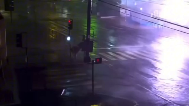
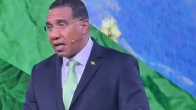
Image for chunk 1

preparedness and public planning, specifically highlighting its role during the response to Hurricane Melissa.

Key Highlights

Recognition of GIS Technology: The video emphasizes how GIS acted as a critical, life-saving tool during the hurricane response. Prime Ministe

Image for chunk 2

r Holness described it as one of the most important technological advancements for humanity [03:18].

Response to Hurricane Melissa:

The hurricane struck on October 27th and 28th of the previous year [04:10].

It was described as the strongest storm ever to hit Jamaica,

Image for chunk 3

with winds over 185 mph and four-meter storm surges [04:22].

The technology allowed for real-time tracking of shelters, blocked roads, and damaged buildings [06:18].

Strategic Preparation: The Prime Minister stressed that this successful response was not due to luck, b

Image for chunk 4

ut rather "30 years of preparation," beginning with the land information council in 1991 and the formation of a national emergency response GIS team in 2009 [07:36].

The Role of GIS in Disaster Management

The following diagram illustrates how the GIS platform functione

Image for chunk 5

d to streamline the emergency response efforts:

Plaintext

+-------------------------------------------------------+

| CENTRAL GIS OPERATING PICTURE |

+-------------------------------------------------------+

Image for chunk 6

| | |

+---------V-------+ +-------V-------+ +-------V-------+

| Track Shelters | | Clear Roads | | Assess Damage |

+-----------------+ +---------------+ +---------------+

| |

Image for chunk 7

|

+--------V------------------V------------------V--------+

| EVIDENCE-BASED DECISION MAKING |

+-------------------------------------------------------+

| | |

Image for chunk 8

+---------V-------+ +-------V-------+ +-------V-------+

| Resource Allocation | Humanitarian Aid | Reconstruction |

+---------------------+--------------------+----------------+

Impact Summary

By providing a single operating picture, the technolo

Image for chunk 9

gy allowed the Jamaican government and international partners—including the UN, NASA, and NOAA—to coordinate effectively rather than arguing over data discrepancies [05:24], [07:11]. This data-driven approach ensured that help was directed where it was needed most, sig

Image for chunk 10

nificantly improving the efficacy of the national response and recovery efforts [06:06].

URL: https://www.youtube.com/watch?v=oUtBb--CxPg

🚨WOW‼️Technology That Saved Lives During Hurricane Melissa Response| Prestigious 2026 GIS Award 🥇

Jamaica Politics Uncovered 2.0 ·

Image for chunk 11

Viewer Discussion & Comments

@carolpryce7015
Look how people overseas can appreciate our 1PM
@AngellaDay-c6z
I am so proud of my 1pm
@joaniebuller6400
Good afternoon JPU blessed Wednesday everyone
@SylvanWest7783
That tells you that when the police go for a gun man they already know all about them before proceeding so don't listen to the noise of some people saying their family members is innocent even though we still have a hand full of corrupt police here in Jamaica just like every other countries
@lonadavis8250
Funny how none of this on any of our media front page.